Cartografía
Paper Charts vs Electronic Charts: What Do Sailors Really Need?
Publicado · Última comprobación octubre de 2026
For UK leisure sailors there's no legal rule that you must carry paper charts, but you must carry up-to-date charts adequate for your passage, in some form. Most experienced skippers use both: electronic charts (a plotter or an app) for live position and convenience, and paper charts for planning and as a backup that can't run out of battery.
What the rules say
Under SOLAS Chapter V, which applies to all vessels including small leisure craft, the skipper must carry out passage planning with appropriate, up-to-date charts and information. It doesn't specify paper. The RYA and MCA advise carrying a backup in case your electronics fail.
Lado a lado
| Paper charts | Electronic charts | |
|---|---|---|
| Live position | No: you plot fixes | Yes, from GPS |
| Overview for planning | Excellent: big picture at a glance | Limited by screen size |
| Actualizaciones | Manual corrections (Notices to Mariners) | Download updates |
| Failure | Can't crash; can get wet or blow away | Battery, power, GPS or software failure |
| Precio | Rising per sheet | App subscription or chart cards |
| Exams | Required for RYA theory exams | Not used in theory exams |
A sensible coastal setup
- A chart plotter or tablet app with up-to-date charts for the area.
- A second device (phone app) charged and in a waterproof case.
- Paper charts or a small-craft folio covering the passage, plus a tidal stream atlas.
- Log your position on paper every hour so you can carry on by dead reckoning if the electronics fail.
Keep the paper skills
Even if you navigate mostly by screen, reading a chart, plotting a bearing and taking a three-point fix are what let you spot when the plotter is wrong.
Types of electronic chart
| Tipo | Where it's used | Notas |
|---|---|---|
| ENC (S-57/S-63) | Official vector charts on ships' ECDIS | Made by hydrographic offices |
| Raster charts (RNC) | Scanned copies of paper charts | Look exactly like paper, don't scale well |
| Plotter cartography (e.g. Navionics, C-MAP) | Leisure chart plotters and apps | Vector charts built from official data, plus extras |
| Tablet and phone apps | Leisure sailors | Convenient backup or primary nav on small boats |
Common electronic navigation mistakes
- Zoomed out too far. Vector charts can hide rocks and shoals at small scales. Always check the route zoomed in.
- Over-trusting GPS. Satellite position can be wrong or jammed; cross-check with depth, bearings and transits.
- Out-of-date charts. Update your cartography before each season.
- No power plan. Tablets and phones overheat and run flat; carry a charging plan.
Paper charts in the RYA syllabus
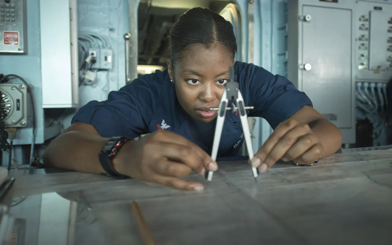
RYA Day Skipper and Yachtmaster theory courses and exams still use paper charts, Breton plotters and dividers. These skills teach you what the plotter is doing for you, and they're what you fall back on if it fails.