Chart tools
How to Use Dividers on a Chart to Measure Distance
Published · Last checked October 2026
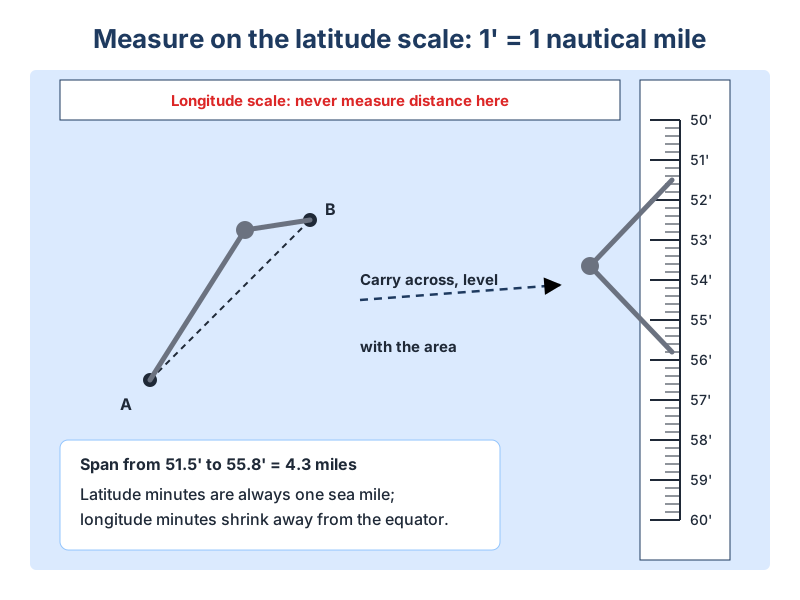
To measure distance with dividers, open them so the points sit on the two positions on the chart, then carry them to the latitude scale on the left or right edge of the chart, level with the area you are measuring. Read the distance off the scale: one minute of latitude equals one nautical mile. Never use the longitude scale along the top or bottom, as its minutes are not a nautical mile.
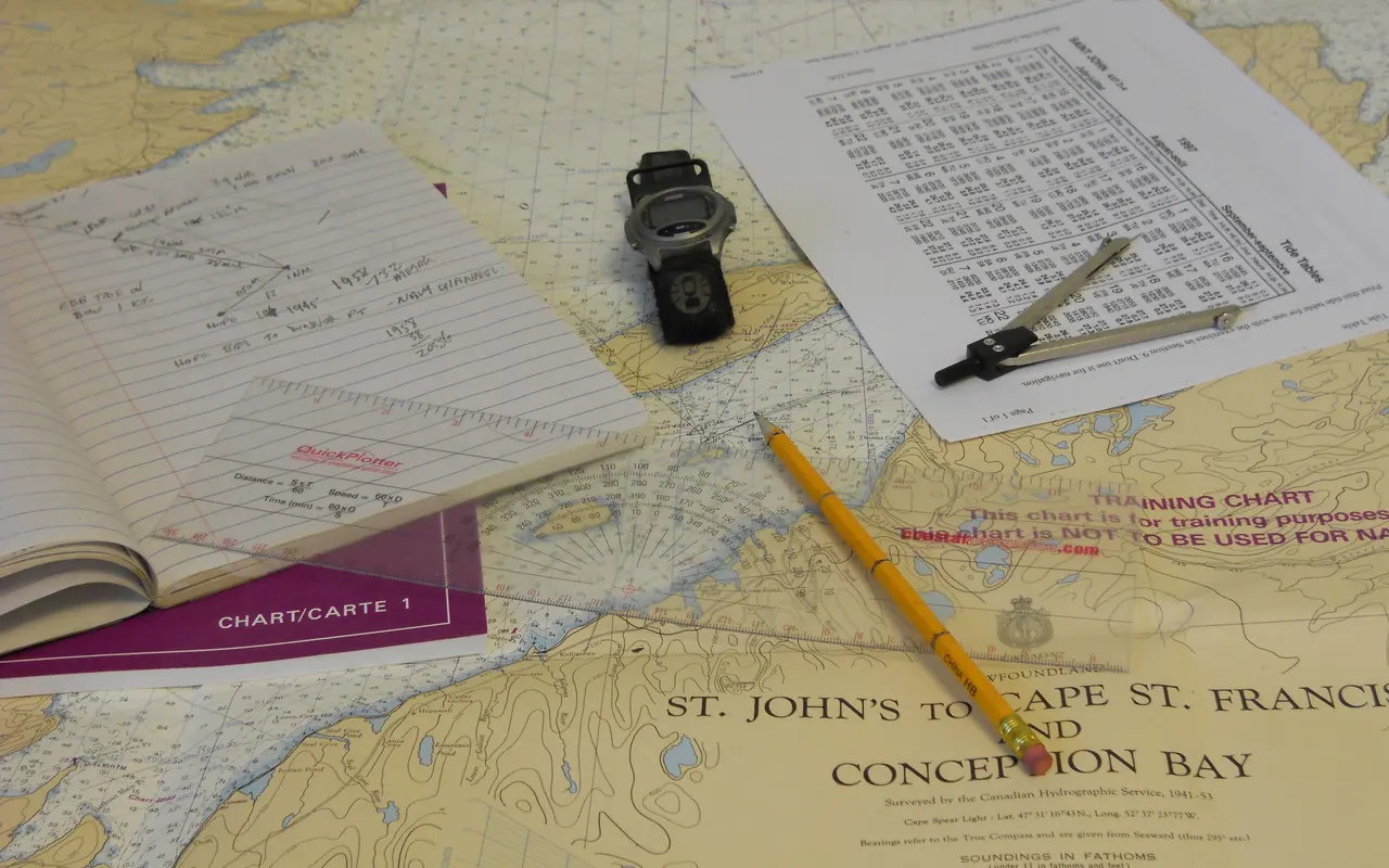
Why the latitude scale
On a Mercator chart a minute of latitude is always one nautical mile, but the scale stretches as you go further from the equator. That is why you measure on the latitude scale at roughly the same latitude as the distance you are measuring. Minutes of longitude shrink towards the poles, so the top and bottom scales are useless for distance.
Measuring a short distance
- Place one point of the dividers on the start position.
- Open the dividers until the other point sits on the end position.
- Without changing the spread, move them to the latitude scale beside the area.
- Count the minutes and tenths between the points. That is the distance in nautical miles.
Measuring a long distance
If the distance is wider than the dividers will comfortably open, set them to a round figure on the latitude scale, such as 5 miles, and step them along the line, counting each step. Measure the leftover piece at the end and add it on.
| Type | Best for | Notes |
|---|---|---|
| Single-handed (bow) dividers | Most yacht chartwork | Squeeze the bow to open or close with one hand while holding on |
| Straight dividers | Chart tables and exams | Precise, but need two hands to adjust |
Other uses
- Plotting a position from a latitude and longitude, by measuring off the scales.
- Marking distance run along a course line for a dead reckoning or estimated position.
- Drawing a range ring, using one point as a pivot (compasses with a pencil leg are easier).
- Checking a tidal vector length for a course to steer.