Local winds
Sea Breezes Explained — When, Why and How Strong
Published · Last checked October 2026
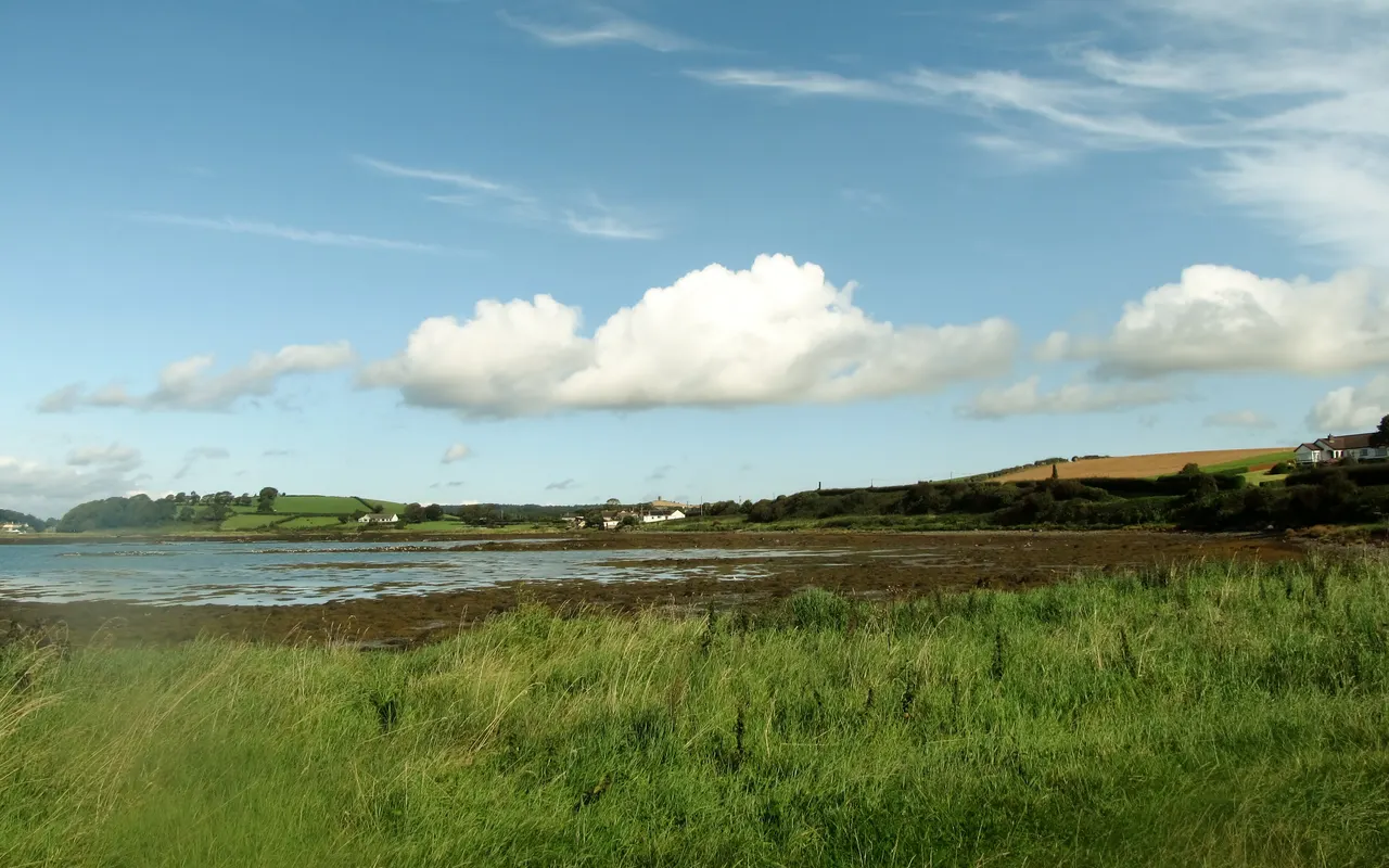
A sea breeze is an onshore wind that develops on sunny days when the land heats up faster than the sea. Warm air rises over the land and cooler sea air flows in to replace it. It usually starts late morning, peaks in mid-afternoon at force 3 to 4 (occasionally 5) and dies away in the evening. In the northern hemisphere it veers through the afternoon.
The recipe
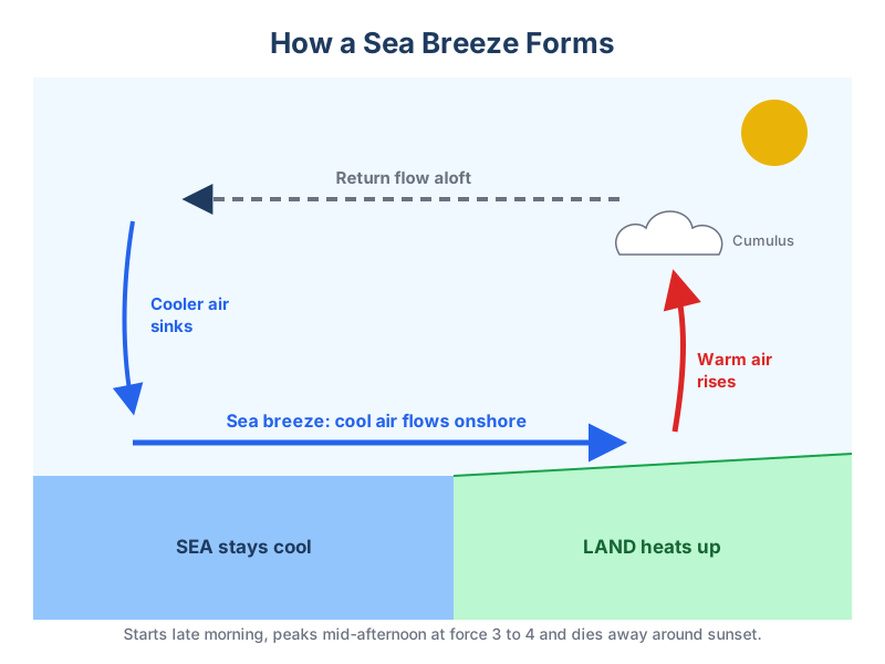
- Strong sunshine heating the land, typically spring and early summer when the sea is still cold.
- Light gradient wind. A strong gradient wind mixes the air and suppresses the sea breeze.
- Cumulus clouds forming over the land along the line where the sea air meets rising air are a sign it is building.
How it interacts with the gradient wind
| Gradient wind | Effect |
|---|---|
| Light onshore | Sea breeze adds to it, giving a fresh onshore afternoon wind |
| Light offshore | A calm zone forms where they meet; the sea breeze often wins later and pushes the calm offshore |
| Strong (roughly force 4 or more) | Sea breeze usually does not develop |
The land breeze
At night the land cools faster than the sea and a weak offshore land breeze may develop, usually force 1 to 3. Where cold air drains down steep valleys or fjords it becomes a katabatic wind and can be much stronger at the valley mouth.
Test your local-effects knowledge in Weather School.
Related guides
Frequently asked questions
How far out to sea does a sea breeze reach?
Typically up to about 10 to 20 miles offshore, depending on how strong it is.
Why does the sea breeze veer?
As it strengthens, the earth's rotation (Coriolis effect) turns it to the right in the northern hemisphere, so it veers through the afternoon.